A damaged bridge over a muddy, eroded riverbed with debris and construction tools nearby.

Photogrammetry

Drone photogrammetry is a cutting-edge technology that combines aerial imaging with advanced processing techniques to create highly accurate and detailed deliverables. Using high-resolution cameras and GPS-equipped drones, we capture precise data from the field and transform it into professional outputs tailored to your needs.

Photogrammetry projects

  • A black-and-white aerial view of a rugged, rocky mountain landscape with a road running along the bottom edge.

    Rockfall, Loutraki Korinthia's

  • Aerial view of a landscape showing a road, rocky terrain, sparse vegetation, and some water features.

  • Aerial view of a hilly landscape with roads, trees, and a small building near water.

  • Aerial view of a coastal scene with a road lined with palm trees running along the shoreline, and rocky terrain with sparse vegetation on the hillside.

  • A 3D panoramic view of an old stone bridge with an arch, greenery, and a white building at one end. The background is plain white.

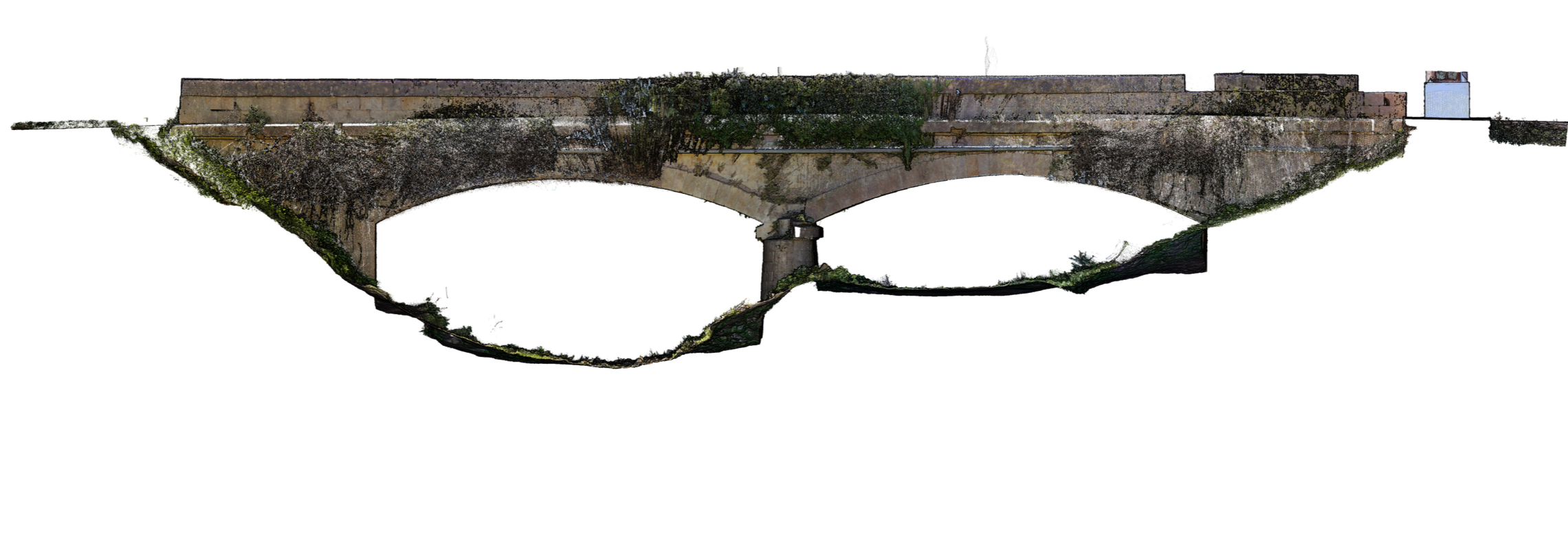
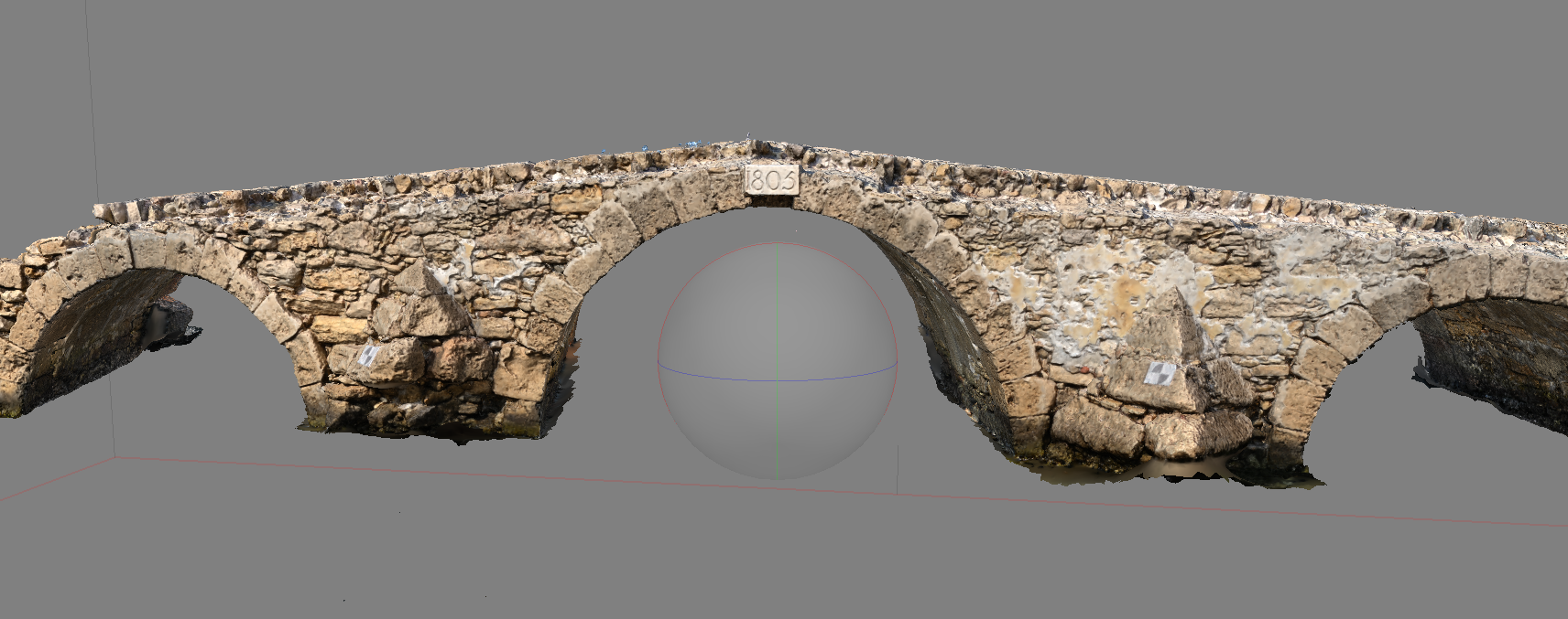
    Argasi bridge Zakynthos, Greece

  • A stone arch bridge with three arches, constructed with irregular stones, and a plaque with the year 1805.

  • Point cloud visualization of an ancient stone bridge with three arches, measured up to 23 meters in length.

Church


Interested in starting a project? Feel free to contact for more information.

Contact